


PR_56_Bono_AA_01_Riviere-Du-Bono_Circuit1b_20220324

patrickdanilo
User
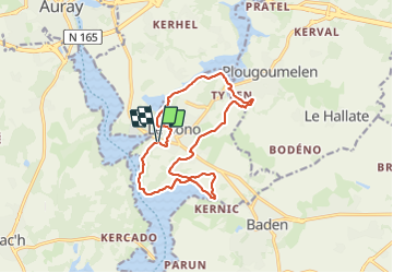

Length
13.5 km

Max alt
34 m

Uphill gradient
145 m
Km-Effort
15.5 km

Min alt
-1 m

Downhill gradient
144 m
Boucle
Yes
Creation date :
2022-03-24 07:37:56.661
Updated on :
2025-07-28 11:19:37.426
3h20
Difficulty : Easy

FREE GPS app for hiking
 SityTrail
IGN / Geographical institutes
SityTrail Plus
The world is yours!
About
Trail Walking of 13.5 km to be discovered at Brittany, Morbihan, Le Bono. This trail is proposed by patrickdanilo.
Description
Randonnée Marche de 13,5 km à découvrir à Bretagne, Morbihan, Le Bono. Cette randonnée est proposée par patrickdanilo.
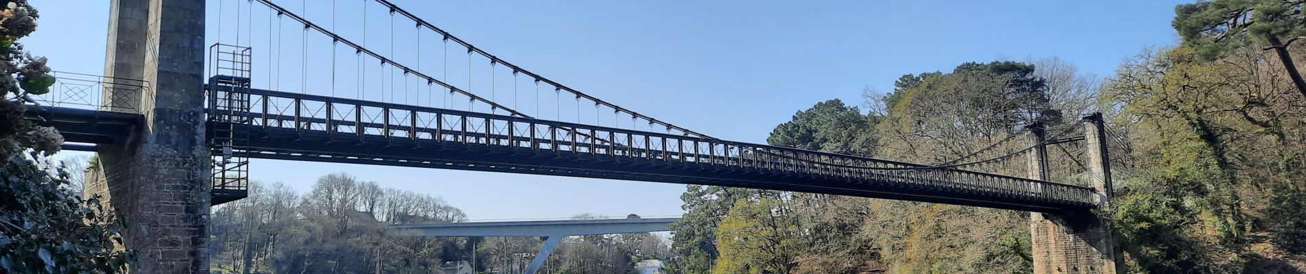
Photos


Positioning
Country:
France
Region :
Brittany
Department/Province :
Morbihan
Municipality :
Le Bono
Location:
Unknown
Start:(Dec)
Start:(UTM)
503565 ; 5276032 (30T) N.
Comments